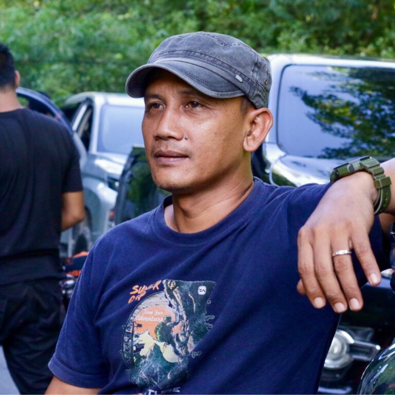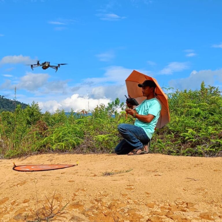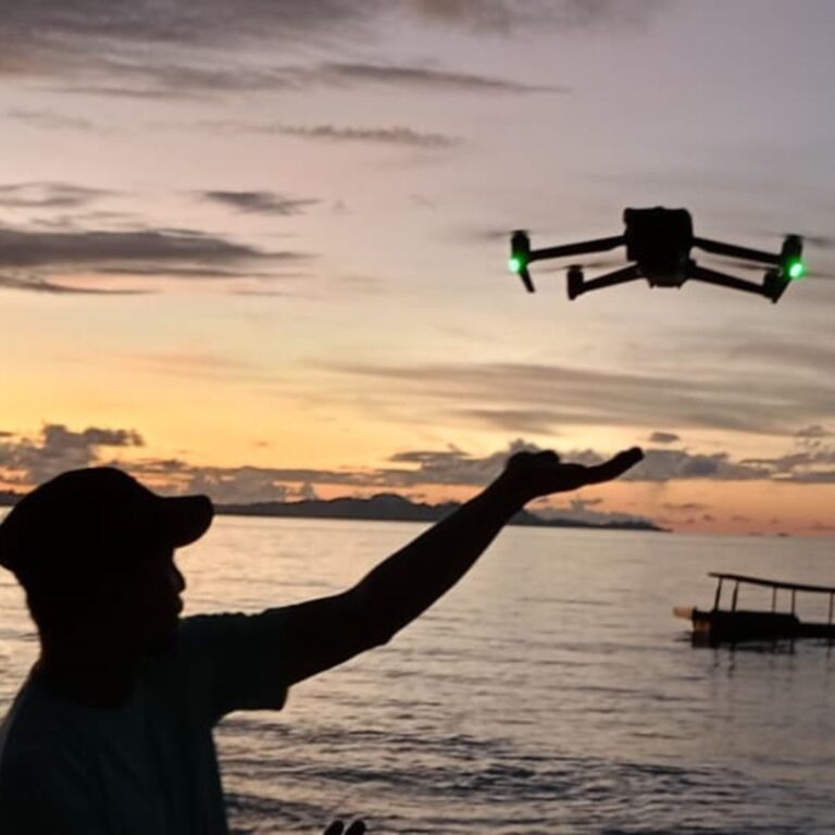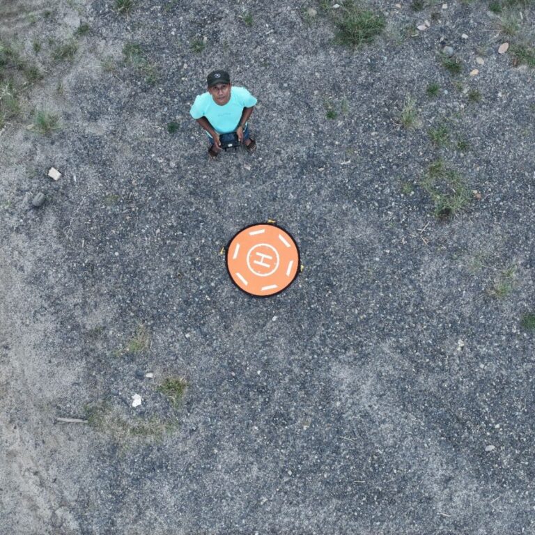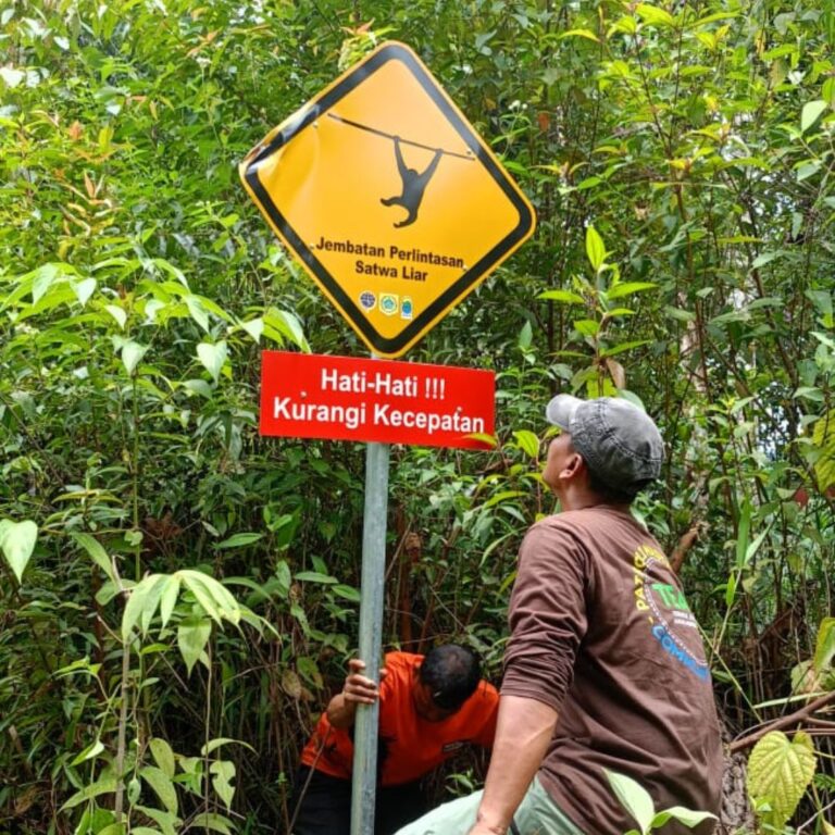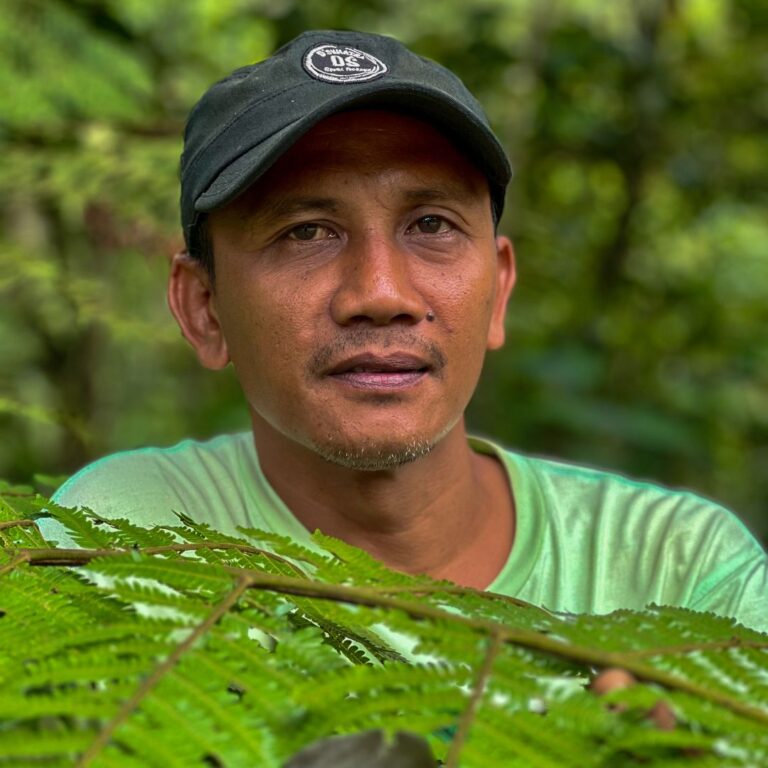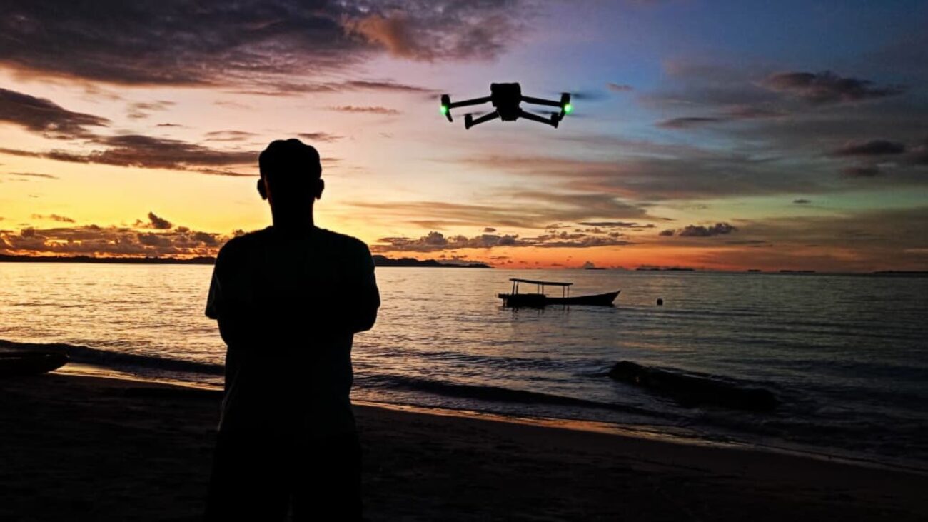
To map, monitor, and protect these habitats, modern conservation requires a brilliant blend of on-the-ground expertise and aerial technology. Meet Darma, a drone operator with our frontline partners, TaHuKah, who is using aerial technology to protect these vibrant rainforests.
Gaining an aerial view of the forest allows TaHuKah to map orangutan landscapes and spot immediate threats like illegal logging. The team analyses forest loss alongside satellite imagery, and can deploy rapid, targeted responses. But this cutting-edge technology is nothing without the right people behind the controls.
Darma joined TaHuKah two years ago as a field driver. When the team adopted drone technology, he stepped up to master piloting, GPS mapping, and aerial navigation.
Today, he has traded the driver’s seat for the sky, completely transforming how we and TaHuKah protect these vital habitats. Here, we chat with Darma about his transition to piloting, the technical challenges of flying through tropical forests, and his unforgettable moments capturing wildlife from above.
My name is Darma. I grew up in a village not far from the coast and large industrial plants. Since childhood, I was actively involved in sports like swimming, basketball, and outdoor trekking. My love for nature inspired me to contribute more deeply to conservation. Although my formal education only reached high school, I never lost motivation. I built friendships with MAPALA* groups and environmental NGOs, starting as a volunteer.
Eventually, I joined the Tangguh Hutan Khatulistiwa Foundation (TaHuKah). Two years ago, I supported field activities as a driver. When TaHuKah adopted drone technology for aerial monitoring, I was entrusted to learn this new tool and apply it for more effective forest protection.
* MAPALA is an acronym for Mahasiswa Pencinta Alam, which translates to “Nature-Loving Students”. MAPALA groups are student-run organisations dedicated to outdoor exploration, environmental conservation, and humanitarian operations.
I serve as a Drone Pilot and Transportation support. My daily routine is a mix of ground and aerial monitoring. I check vehicles, receive directions from supervisors to assess forest cover, and head directly to the designated sites. I also perform routine maintenance on both vehicles and drones to ensure they are always ready for operation.
As for training and skills: certified drone piloting is essential. Beyond that, navigation skills, cinematic videography, GPS and mapping expertise, and a solid understanding of drone flight regulations are critical. Video editing is also a crucial skill to present findings effectively.
Natural factors are the greatest challenge: sudden strong winds, heavy tropical rain, and humidity that can damage sensors. Dense vegetation often disrupts drone signals. Flying too low beneath the canopy risks entanglement in branches. Finding safe take-off and landing points on uneven terrain requires special expertise.
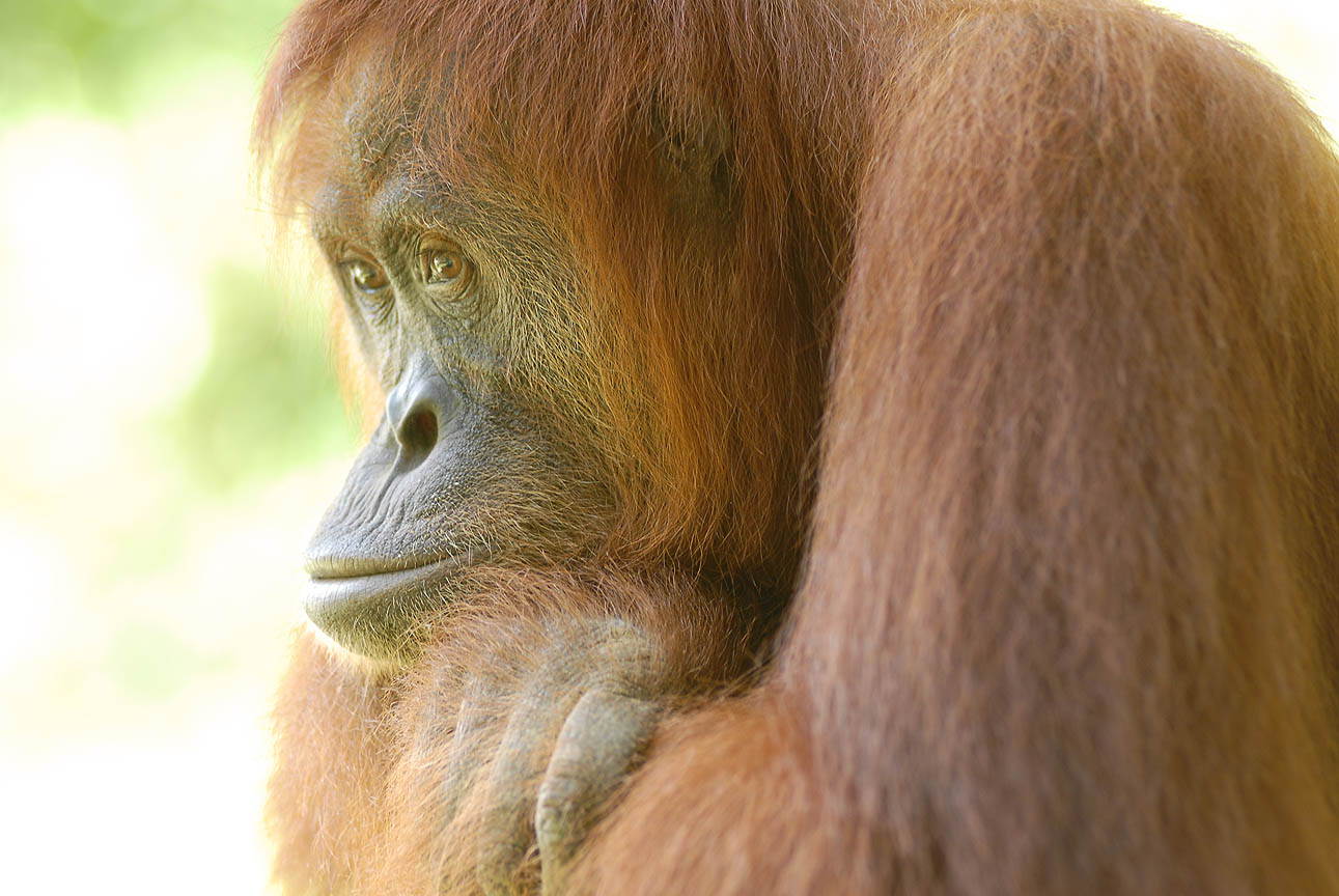
The most unforgettable moment was when the drone camera captured wild orangutans moving through the canopy, along with other wildlife in their nests far beyond ground observation. Witnessing the forest’s beauty and its wildlife without disturbing them was truly extraordinary.
I enjoy the satisfaction of seeing aerial photos and videos that confirm the forest we protect remains safe from illegal clearing. My life has completely changed—once I was only a driver monitoring from the ground, now I feel like the “eyes” of the forest. I am proud to bring modern solutions to conservation.
My hope is that TaHuKah continues to expand drone technology to cover wider areas and automatically detect threats to the forest. I dream that my children and grandchildren will still be able to see lush forests, hear the sounds of wildlife, and breathe clean air—not only watch them through my recorded videos.
 You can help protect Sumatra's Orangutans. Click to get updates