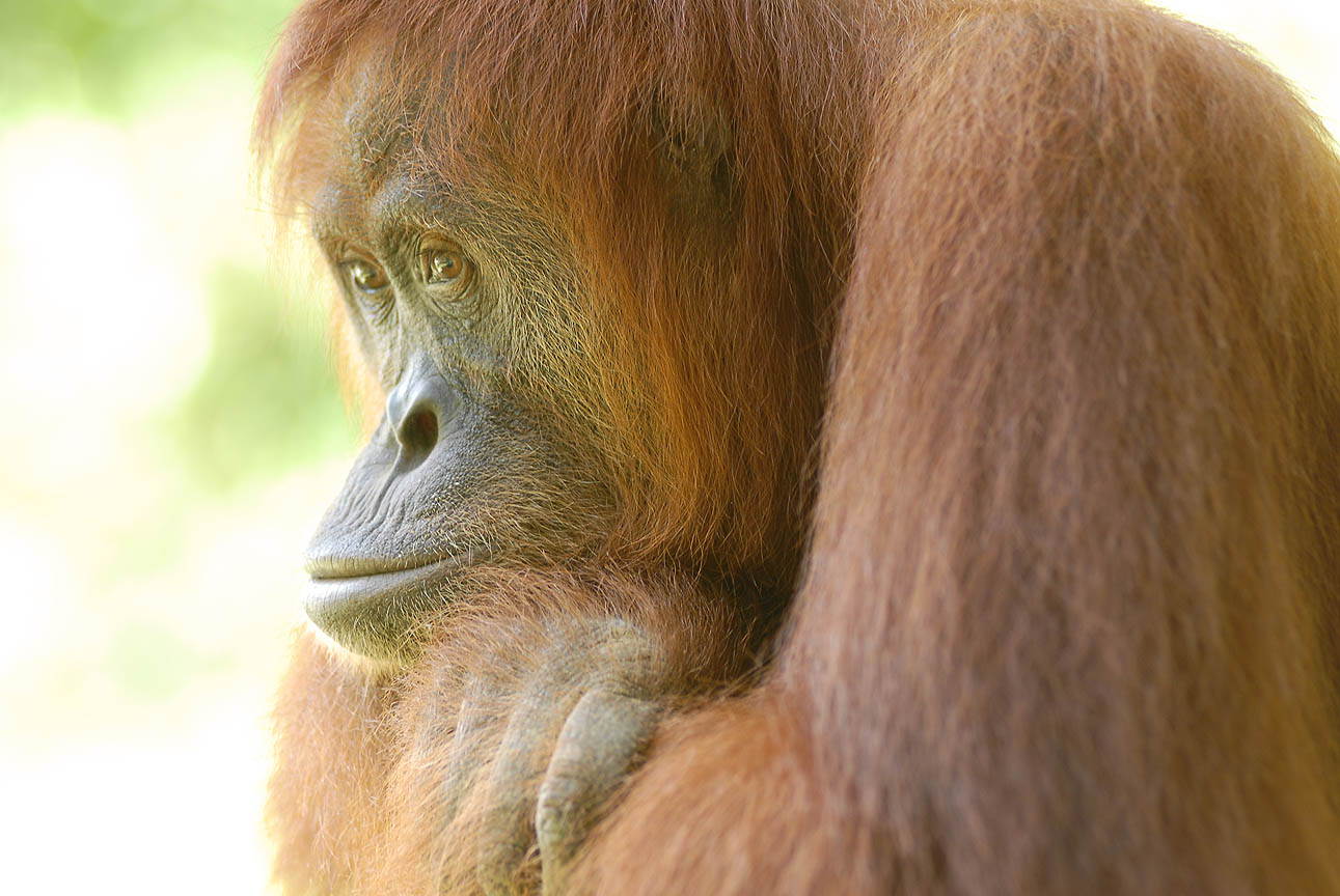
Photo credit: Zac Mills, the Wildlife Collective
Counting orangutans is a challenge. While drones can collect aerial images at a rate of 18km/h (in contrast to researchers on foot covering 1km/h), this creates a new problem: a massive amount of data. In a new study, researchers use a “deep learning” model to count orangutan nests in aerial surveys, a task that previously required expert eyes and hours of processing.
The AI model can quickly scan thousands of images for orangutan nests, removing the need for manual processing. The model achieved an impressive precision of 98% meaning that when it identifies a nest, it is almost always correct. Better yet, it was able to process the images 30x faster than humans, turning 30 hours of work into a 1 hour task.
While the model was highly accurate at identifying nests, its recall (the ability to find every nest) still needs work. It found 88% of nests in aerial images from multirotor drones, and only 71% from faster-moving fixed-wing drones. In contrast, the expert teams miss only 2% of nests in aerial images.
For scientists to track population trends over time, we must refine these models to catch every nest, regardless of drone type or forest density. At SOS, we blend research with boots-on-the-ground expertise to create an accurate picture of what’s happening in the rainforest. This allows us to identify priorities and allocate resources where they will have the greatest impact for orangutans.
 You can help protect Sumatra's Orangutans. Click to get updates